LiDAR & Geospatial
After a major event, damage assessment is the bottleneck between a declaration and money moving. Aerial and LiDAR collection can cover a county in hours. Classifying what it shows should not take weeks.
What it does
Baseline differencing
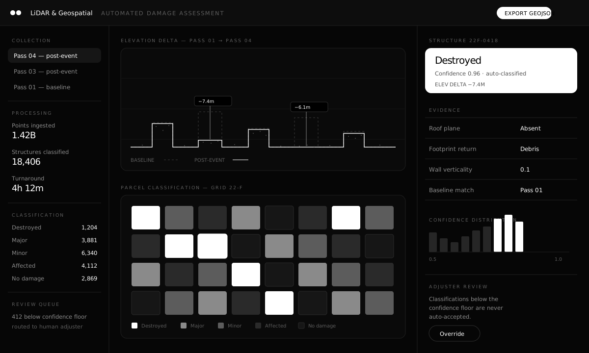
Post-event collection is differenced against a baseline pass, so classification rests on measured elevation change rather than on an interpretation of a photograph.
Per-structure classification
Each structure receives a damage category with the evidence that produced it: roof plane, footprint return, wall verticality, baseline match.
A confidence floor that is enforced
Classifications below the floor are never auto-accepted. They route to a human adjuster, and the queue size is reported rather than hidden.
Exports into the workflow you already have
Results leave as GeoJSON for the systems that consume them, instead of requiring an agency to adopt a new viewer.
Specification
| Area | Detail |
|---|---|
| Input | LiDAR point clouds and aerial imagery, baseline and post-event passes. |
| Processing | Ground classification, structure extraction, elevation differencing. |
| Classification | Destroyed, major, minor, affected, no damage, with per-structure evidence. |
| Review | Confidence floor routes uncertain classifications to human adjusters. |
| Output | GeoJSON export with classification, confidence, and evidence fields. |
| Security | FISMA Moderate baseline, full chain of custody on collection. |
Tell us what's stuck.
A 30-minute briefing with the engineers who would do the work — not a sales team.